
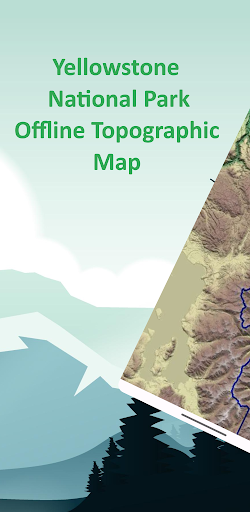
Features Yellowstone Offline Topo Map
Designed with simplicity in mind, this app offers an intuitive user interface that enables you to quickly and easily find information about surroundings, without any prior technical knowledge or experience.The app offers offline topographic map of Yellowstone National Park, data used in this app meticulously provided and maintained by 3D Elevation Program (3DEP) and Land Resources Division.
Property ownership data is compiled from deeds, plats, surveys, and other source data.
These are not engineering quality drawings and should be used for administrative purposes only.
The National Park Service shall not be held liable for improper or incorrect use of the data described and/or contained herein.
These data and related graphics are not legal documents and are not intended to be used as such.
The information contained in these data is dynamic and may change over time.As a testament to our commitment to utilizing cutting-edge technology, we proudly leverage the Leaflet JavaScript library – a project born in Ukraine.
It delivers a seamless user experience that empowers you to explore and discover the world with ease.This app is the embodiment of our unwavering commitment to making the world a better place, and we are honored to provide a powerful platform that equips you with the tools and information needed to navigate and explore the surroundings with confidence and clarity.
Secure & Private
Your data is protected with industry-leading security protocols.
24/7 Support
Our dedicated support team is always ready to help you.
Personalization
Customize the app to match your preferences and workflow.
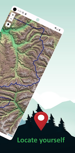
See the Yellowstone Offline Topo Map in Action


Get the App Today
Available for Android 8.0 and above